9 Hikes Near Grand Junction with the Best Views

If you enjoy outdoor recreation, then you will appreciate all Grand Junction, Colorado, has to offer. The area has an abundance of public lands, open spaces, and places to hike.
Grand Junction sits in the Grand Valley, surrounded by breathtaking views of the Grand Mesa, Colorado National Monument, high desert vistas, and Bookcliff Mountains.
We lived in Grand Junction for over 12 years and are sharing the hikes you should add to your adventure list.
Hiking Near Grand Junction, Colorado

The West Slope touts 300+ days of sunshine a year, and that is pretty accurate. I even named my first dog Sunny because it is always sunny here.
All of the hikes we are sharing with you are great if you are new to the Grand Valley, are a local, want a fun day hike on the weekend, or just moved to Grand Junction to go to college (like I did — go Mavs).
But First, Don’t Bust the Crust
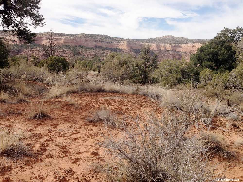
Did you know it takes hundreds to thousands of years for the desert crust to grow? I’m a biology nerd, and I wrote my undergraduate thesis on biological soil crust, so I have to share more about it.
Be careful hiking around. You don’t want to bust the biological soil crust hiking in the desert. Always stay on the trail, and don’t bust the crust (link to USDA). The crust is vital to the desert environment.
Please practice Leave No Trace while recreating outside to help keep Colorado pristine and epic.
Best Hikes Near Grand Junction
Now, on to hikes with the best views in the Grand Junction area.
Independence Monument Trail (Monument Loop Trail)
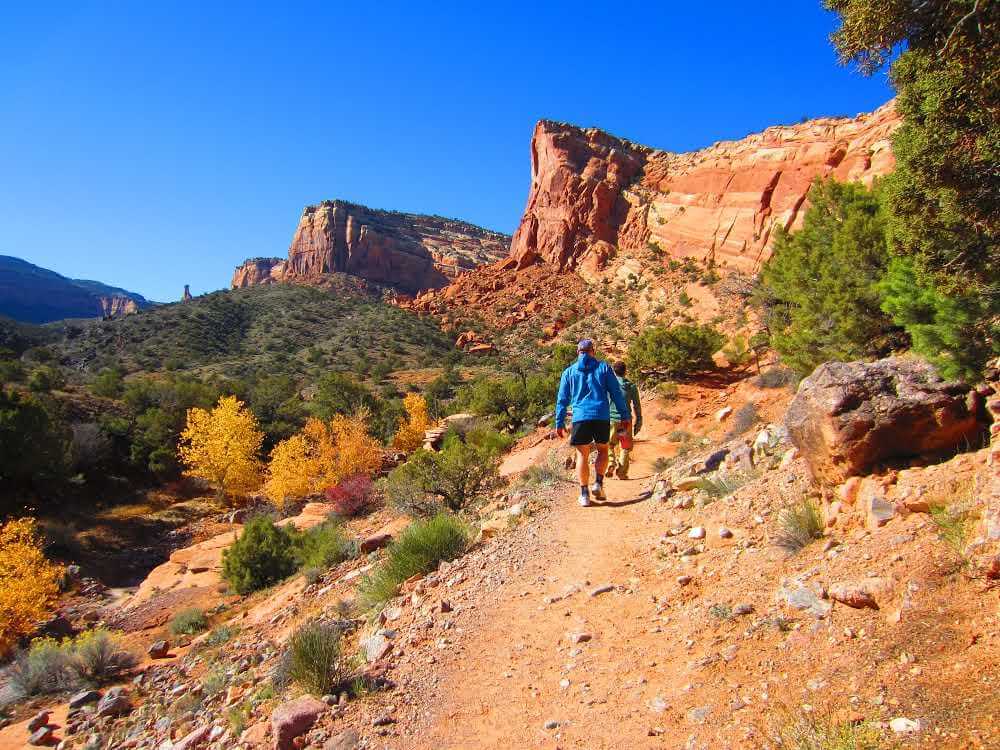
- Length – 5 miles round trip
- Difficulty – Moderate
Directions — Hikers can access the lower trail from Broadway/Rim Rock Drive in the Redlands. The trailhead is in a small parking lot off Broadway. You do not need a National Park Pass to hike the Independence Monument Trail from this access point.
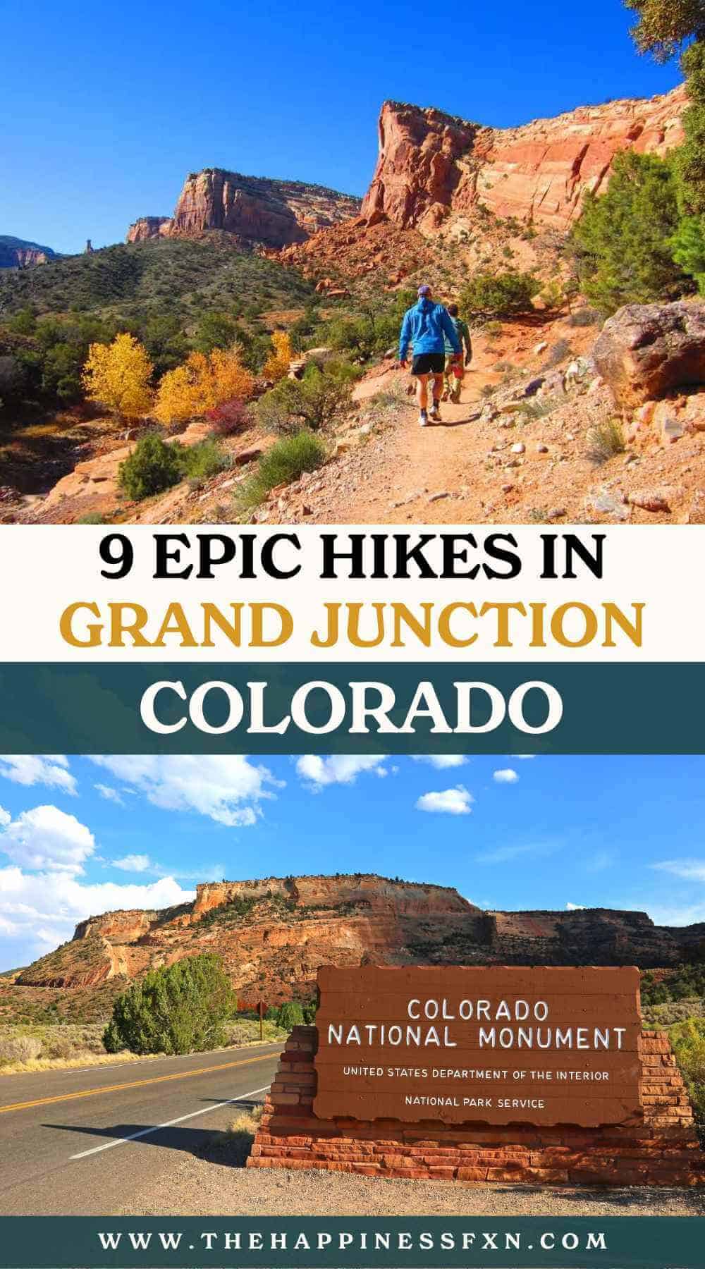
Independence Monument is iconic to the Grand Valley. As you hike along the trail, you can feel the red rock energy and magnificence of the monument and canyons. The trail is located within the Colorado National Monument.
As you hike, keep your eyes peeled for bighorn sheep and colorful collared lizards.
This trail is well-marked, and you can hike year-round.
Get more information about hiking in the Colorado National Monument here (link to National Park Service).
Rustlers Loop – Mack Ridge Kokopelli Trail System

- Length – 3.7 mile loop
- Difficulty – Easy
Directions – Rustlers Loop can be accessed by taking the Loma exit off I-70. Head to the Rustlers Loop trailhead. It is well-marked and part of the more extensive Kokopelli Trail System.
If you are looking for a place to run or hike with awesome views of the Colorado River, this trail is for you.
Visitors can also mountain bike Rustlers Loop. It is a super easy mountain bike trail with amazing scenery.
What I like most about Rustlers Loop is you can hike it year-round. It is an easy trail and does not take all day to walk. My husband and I used to love hiking Rustlers Loop on Christmas. We would have the entire area to ourselves! This was also my go-to for easy trail runs.
If you are looking for a longer hike in this area, check out the trailhead maps for Mary’s Loop and Horsethief Bench, which all connect. You could spend all day on the Kokopelli Trail System, which eventually leads all the way to Moab, Utah.
Rattlesnake Arches Trail from the Pollock Bench Trailhead

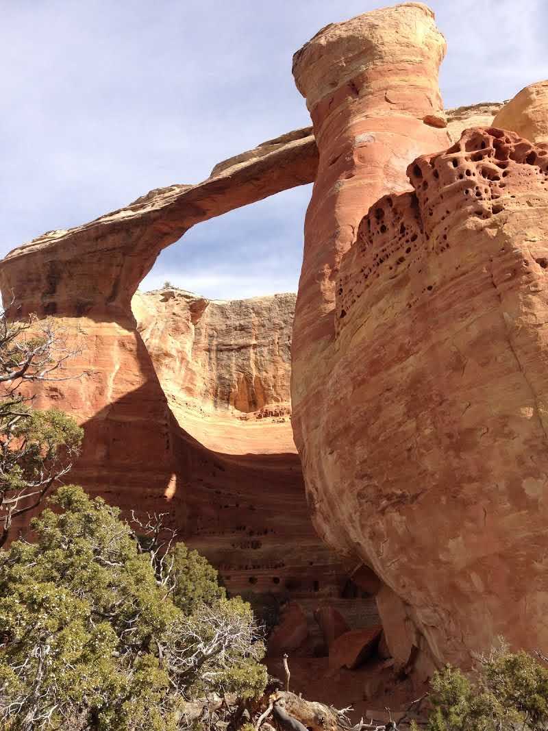
- Length – 15 miles round trip
- Difficulty – Hard
Directions – The Pollock Bench Trailhead is easy to find off Horsethief Canyon Road south of Fruita. There are a few ways to hike this trail, so be sure to do some research before you head out.
Rattlesnake Arches from the Pollock Bench Trailhead is a must-see.
Pack a sack lunch and extra water, and plan an all-day round-trip hike to some of the best canyon country and arches in the U.S.
Rattlesnake Arches Trail is one of our favorite hikes in the Grand Junction area. You’ll be surrounded by spectacular red rock geology, pinon-juniper forests, and cactus country, followed by grand displays of the McInnis Canyons National Conservation Area and hidden natural arches.
The hike gets remote as the trek takes you into the McInnis Canyons National Conservation Area.
I ranked this hike as hard for two reasons. First, it is 15-miles round trip and takes most of the day (it took us 8 hours). Second, some sections require rock scrambling. You don’t have to do the entire trip, but the arches and canyons are at the end before you turn around.
Flume Canyon Trail
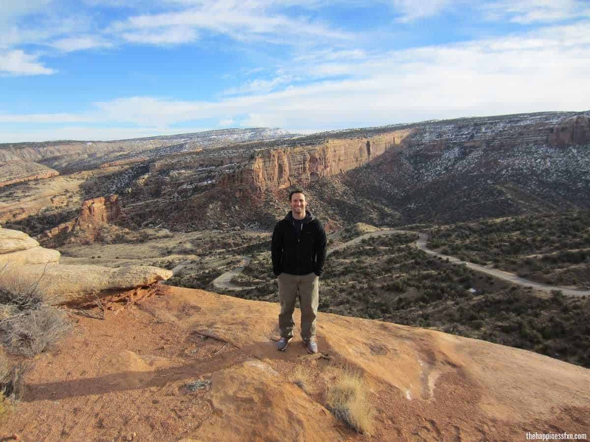
- Length – 4.8 mile loop
- Difficulty – Easy
Directions – The Flume Canyon Trailhead is easy to find off Horsethief Canyon Road, south of Fruita. Here is a map of the Devils Canyon, Flume Canyon, and Pollock Bench Trail System from the BLM.
The Flume Canyon Trail is nice and easy. It has a fair amount of traffic. The trail has a steady, rocky incline. In the beginning, you get into the rocks, and then the trail drops into a canyon meadow.
This area is a hub for other great hikes (we just talked about getting to Rattlesnakes Arches above). Keep your eyes on the trail markers unless you want to hike a different trail purposely.
Mount Garfield Trail

- Length – 4 miles round trip
- Difficulty – Hard
Directions – BLM access directions can be found here.
Hiking Mount Garfield has a cult-like following (in a fun way). We have friends who hike it every day to train for races and other athletic events. The climb to the top is almost 2,000 feet of vertical gain, but once you are there, the views of the Grand Valley are so worth it.
This trail is steep. Take good hiking shoes and maybe some trekking poles. This hike is totally worth the uphill energy.
Corkscrew Trail Loop – Colorado National Monument
- Length – 3.3 mile loop
- Difficulty – Moderate
Directions – Don’t be discouraged or misled by the trailhead access. You have to drive through a neighborhood in the Redlands to get here. The Corkscrew trailhead is shared with Liberty Cap and the Ute Canyon Trail. Both are excellent day hikes within the Colorado National Monument.
Follow the well-marked signs for the Corkscrew Trail. This trail takes you into the Colorado National Monument.
What I love most about the Corkscrew Trail is that the path literally resembles corkscrews (or switchbacks).
The average time to complete the hike is about two and a half hours, so you could do it after work or as a quick, fun weekend hike.
Check out the Colorado National Monument website for more information on hikes within the park.
You don’t have to pay to hike any of these three trails from the Redlands access.
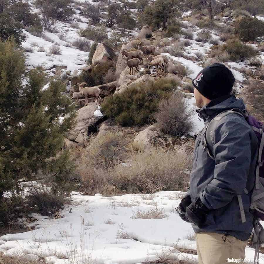
Keep your eyes peeled for big horn sheep! We have seen them quite a few times over here.
Rabbit Valley Trail Through Time

- Length – About 1.4-mile loop
- Difficulty – Easy
Directions – The Rabbit Valley Trail Through Time is located right off I-70 on the north side, exit 2, to Rabbit Valley.
Even though it is an easy hike, what makes it spectacular are the dinosaur fossils along the way.
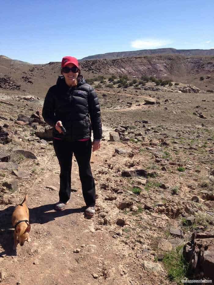
Pablo, Sunny, and I even watched an antelope close by on the ridge. If you’re into checking out dinosaur fossils (which we think is way fun), then this is a neat, easy trail for you.
Rabbit Valley Rabbit Ears Trail
- Length – 6.1 mile loop
- Difficulty – Moderate
Directions – Located in the Rabbit Valley area, take exit 2 off I-70, go towards the south side of I-70, and drive about 4.5 miles east along the gravel road.
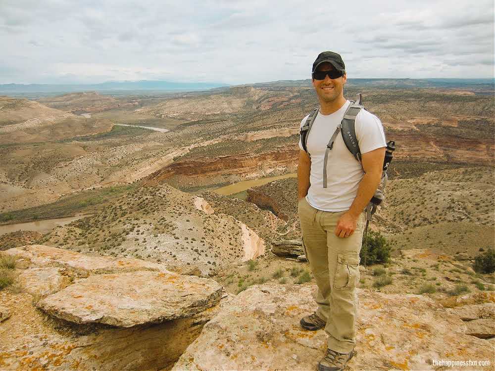
The Rabbit Ears Trail will take you through pinon-juniper woodlands to a spectacular overlook of the Colorado River, La Sal Mountains, and Canyon Country.
We were the only ones out on this hike. The views from the top of the loop are incredible.
Make sure to bring water.
McDonald Creek Trail
- Length – 2 miles round trip
- Difficulty – Moderate
Directions – Also located in the Rabbit Valley area, take exit 2 off I-70. Head south/southwest on the dirt road about 2.5 miles. You’ll come into a meadow area and will see a giant rock in the middle of the field. The trailhead is off to the left.
Pablo and I hiked McDonald Creek Trail one year on my birthday. I am fascinated with hikes in Canyon Country that have ancient mysteries tucked away.
McDonald Creek is home to a few unmarked displays of ancient rock art and is in the McDonald Creek Cultural Resource Area. The Fremont Indians lived here over 1,000 years ago.
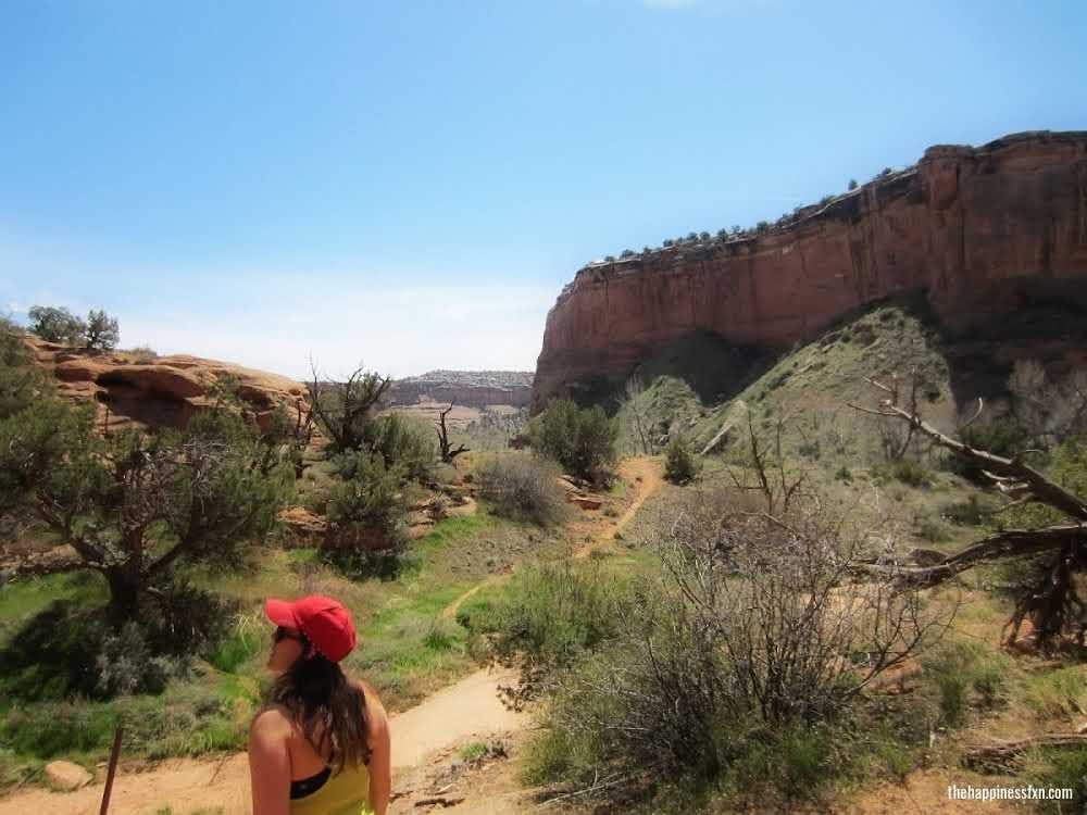
The trail starts off in an open space meadow. As you head into the canyon, the red rock gets higher, and the canyon narrows. The trail leads you to the Colorado River (but you have to crawl through the Tamarisk quite a bit).
Speaking of the Colorado River, I went on a Ruby-Horsethief Canyon rafting trip with Grand Junction Adventures and hiked into McDonald Creek from the river one summer. If you’d like to learn more about that trip and how you can do it, check out my guide.
Hiking Etiquette
New to hiking, biking, and outdoor adventures? Right on! We compiled some resources for you.
- Please help keep trails and green spaces clean by using the trash and recycling receptacles at the trailheads, if available. If not available, pack out what you pack in.
- Always practice Leave No Trace while enjoying the outdoors.
- Last, check out this post from REI on Trail Etiquette and Who Has the Right of Way.
- Download the AllTrails app to get maps on your phone.
Have fun out there.
Ashlee & Pablo
Where indicated, image courtesy of Depositphotos.com.
More Western Colorado Adventures
We love Colorado’s Western Slope! Check out these helpful guides to plan your adventures:
Save for Later!
Pin this guide on Pinterest to plan your hikes later.
Follow The Happiness Function on Twitter, Instagram, Facebook, TikTok and YouTube.

Love this list! Thank you!!!! So many people thin of Colorado as cold and snowy, but really it’s so temperate and sunny!!! The western slope is so unique! I can’t wait to check out some of the hikes that you highlighted!
Hi Kathy! So nice to see you on our blog! Thanks for stopping by and commenting. That means a lot to us 🙂
Thanks for the information about Colorado !! Sooooo FUN !!
Hey Uncle Burt! Thanks for stopping by to read our blog! XXOO
These are some sweet hikes to a beautiful part of Colorado. I really liked how you alerted people to crypto soil. It’s so important to educate people on the fragility of this soil and to practice LNT.
Hi Karen – thanks for reading and for your feedback around crypto soil. We all have to do our part. Love that you commented on that! XO
These are awesome! Those viewpoints are amazing. I like that they’re all short-ish and can be easily managed! I’ve never been to Colorado but there are so many awesome outdoor activities to do there!
Hi Sarah – thanks for reading. You have to get to western Colorado someday! Especially spring and fall for amazing desert weather.
I’d love to do Rattlesnake Arches trail, but I don’t think I’m quite ready for that amount of hiking in one day. I’ll have to settle with the Flume Canyon trail to start off with I think. Great list!
Hi Katherine – Flume Canyon would be perfect. You still get into the red rock! Thanks for reading.
Wow! You hit a part of the country that is near and dear to me! I have biked in Fruita and Hiked in the area many times but have not hit the majority of the hikes you list. I am definitely saving this post and referring to it next time I am in Grand Junction or Fruita. Thank you!
Hi Molly! Sweet! So cool you have spent time in the Grand Junction/Fruita area. It truly is incredible. Thanks for reading.
These look like awesome hikes! I definitely have to make my way back to Colorado and check out the Grand Junction area. It’s such a breathtaking state. 🙂
Hi Taylor – Yes, Colorado is so awesome. We miss living there. You’ll have to check out Grand Junction – so much to do there outdoors-wise.
These trails sounds so nice. I’ve always wanted to explore Colorado so when we can travel again your post will be so handy! Also 300 days of sunshine?? Wish England get a few more in a year!
Hi Kitti! Cool, thanks for reading all the way from England. You definitely need to visit Colorado next time you are in the US. We went to the UK in June of 2013 and were lucky to have a mostly sunny trip. Super fun! XO
I loved reading this post. It brought back so many memories. We used to live close to Grand Junction and visited it often. 🙂
Hi Michelle – so wonderful. I love hearing this!
Woooah sitting here in soggy vancouver, I would LOVE 300 days of sunshine for hiking with Sunny! (Although I do love the greens of the rainforest here so I guess I can’t have it both ways!) These hikes all look fantastic!
I am glad you mentioned about don’t bust the crust! We tend to stick to paths as part of leave no trace…but it is good to know why that is particularly important
Hi Josy – thanks for reading our website! So happy you found us all the way from Vancouver. We can’t wait to visit Vancouver some day. Yes, Grand Junction is a sunny and beautiful place. We sure miss it!
Queerida Ashlee fui muy feliz en ese viaje. Los amo mucho. .Estamos siempre en coneccion y mi corazon late en el de ustedes.
Ashlee a diario miro tu pagina y realmente me doy cuenta de lo bien que la hiciste.
Me detengo mucho en Colorado,Grand Junction, que tuve la bendicion de estar alli con ustedes.
Guardo recuerdos tan bellos de ese lugar en mi mente y en mi corazon
Hola Cristina, ¡estamos muy contentos de que nos hayas visitado! Espero que puedas visitarnos cuando COVID desaparezca. Muchos besos y abrazos.
300 days of sunshine?! I never knew that! So many great details and tips!
Hi Jessica! Thank you for your comment. Yes, so much sunshine and beauty. You have to go – soak up some vitamin D! Have a great day.